Showing posts with label Beverley. Show all posts

Monday, 18 March 2024

Last interglacial coast trail. Stage 3: Beverley to Scorborough


I get an early bus to Flemingate, Beverley and walk to the Minster. It is a sunny, mild and still day, a Small Tortoiseshell and a Bee fly feeding on Lesser Celandines opposite the Minster. The last interglacial coastal cliff conveniently follows the centre of Beverley in an approximate north to south direction at about the 10 m over sea level. The reason for my choice of animal of the Ipswichian for today is due to the fact that Beverley is named after beavers (Anglo Saxon 'beofer lac'or ley', beaver lake or pasture). I decide to make a compilation of Beaver beaver iconography along the route. First, I walk around the Minster trying unsuccessfully to find a gargoyle depicting a beaver playing bagpipes. I ask inside and the volunteers are a bit baffled, but they helpfully point me to a small carved beaver in a book case. 

Always birds on gargoyles. This one a Stock Dove.
Jackdaw on statue.
Carved Beaver inside the Minster, on a book case.
Old Beverley Coat of arms on Beverley Market cross. It really doesn't look like a beaver!
The new rendition of the coat of arms on litter bins looks more like it.
The Beaver Pub sign.
The Beaver pub at North Bar Within.
I had never noticed this Victorian public water pump from 1860, it was beautifully reconstructed by the Beverley Civic Society.
North Bar gateway.
I thought it was a beaver on North Bar, but it looks like a squirrel.

I leave the old town through North Bar towards Molescroft following the Minster Way until the pedestrian bridge over the A1035 to join the Hudson Way.

The Minster Way is some times very narrow across Molescroft.

I'm afraid this route zig-zags quite a bit, as the most straight route by the interglacial coast is on the Driffield road, but this is a very busy road and I will avoid it, so I take the sedated Hudson Way, an abandoned railway track from Beverley to Market Weighton that is now a public footpath. Butterflies, Chiffchaffs, Yellowhammers, and Skylarks on the way. Carpets of Dog's Mercury on the banks.

Bee Fly.
Small Tortoiseshell and Comma on Blackthorn blossom.
Yellowhammer.

I leave the Hudson Way at Miles Lane, near the grounds of the abandoned Mediaeval village of Ravensthorpe, but this turns to be pretty busy too with traffic. I try an alternative route, but it turns out that it is a road to a clay-shooting ground by Bygot Wood, with scary warning signs on the trees all along not to proceed, despite it leading to a public right of way, so I have to retrace my steps. I’m glad I’m able to tick some early Wood Anemones and Ramsons at the start of the track.

A female Bullfinch was intrigued when I whistle its call.
The view north from the Hudson Way.
Miles Lane bridge over the Hudson Way.
Wood Anemones by Bygot Wood.

Ipswichian Woodland

The Anemones and Dog's Mercury are ancient woodland indicator flowers that tells us that woodland was much more extensive a few centuries ago than it is now in East Yorkshire. They remind me that you might interpret the abundance of megafauna in the last interglacial as if the British Ipswichian ecosystem was like today’s Serengeti. This is not so, the megafauna was very different in many ways (no antelopes, many deer) the flora, surprisingly, would be pretty much like the European vegetation today. We would have walked across the landscape not having much trouble recognising the trees and flowers, most species are present today. At peak interglacial conditions, the woodland was a mixed oak forest, with Pine, Birch, Elm, Oak, Maple, Hornbeam and Hazel. In the wetter areas, Alder carr would have develop. Hornbeam became more dominant in the late stages. An exotic element to the flora of the time is the presence of the Montpellier Maple, native to the Mediterranean and not found in the UK today. A strong contrast with the extremely reduced woodland cover of East Yorkshire today, just over 2%.

I skirt Leconfield following the old Driffield road and then take a footpath towards Bealey’s Beck. It's great to be back off the road. A Skylark rises and a Curlew calls, but I can't find it on the stubble of the fields. A Red Kite flies over moving up the valley, loosely chaperoned by the resident pair of Buzzards across their territory.

A spring, crystal clear water burbling from the chalky bottom. Its waters end up at Bealey's Beck.
Many flowering Primroses along the way.
I gasp when I come across the beautiful Bealey's Beck (top shot). I check the Ordnance Survey map and trace its meandering course upstream up to South Dalton, I can see the church tower spire in the horizon. The beck changes name as it progresses along its little valley from Beck's Drain, Moor Beck, Bealey's Beck and Scorborough Beck. Much of what it looks like a natural valley is open wood pasture with small plantations. The last interglacial cliff is westwards in this area, with abundant springs and streams, but it is likely a shorter stream existed back then with the higher sea level.

The simple bridge crossing of Bealey's Beck.

A Bridleway marker in the middle of a field.

Scorborough Beck by the Driffield Road. I can imagine beavers living here.

I get to the bus stop on Driffield roat at Scorborough. Sadly, a roadkilled Hedghehog is the only wild mammal I've seen today.

Beavers

Eurasian Beaver, Castor fiber, were widely distributed during the Ipswichian across England. Beavers are semi-aquatic, and live near water, not straying too far to feed. They graze aquatic plants and fell broadleaf trees to feed on the bark and leaves and to store these for the winter months. Felled trees, usually willow or aspen and birch, sprout from the stump, and this beaver coppicing means beavers have easy access to low browse forming ‘beaver pastures’. If the water is not deep, they use tree trunks and branches to build dams along rivers. Unlike other rodents, beavers form monogamous pairs that share a territory. Their young of the year (kits, often two) stay in the parental territory until they are two, so the groups is really a family of beavers. Beavers build lodges in the lake with an underwater entrance where they are safe from predators. They store vegetation inside the lodge to eat through winter and they also have their young in the safety of the lodge.They eat tree bark, twigs and leaves and also grass and aquatic vegetation. When the lake that forms behind the dam gets silted up, they form meadows, which are used by other herbivores. The beavers then move upstream and build a new dam, which forms a lake. Together with other herbivores, beavers contribute to create clearings in woodland and alongside rivers, they favour willow, which they effectively pollard so new growth is generated near the base. Beavers are regarded as ecosystem engineers and keystone species for their multiple effects on their environment and positive effects on biodiversity. Their lakes are ideal for some species of fish like pike, eel and carp, favouring slow water and the beaver meadows attract other megafauna. They slow the flow of water in the river basin. 
Beaver.
Where can I see them?
Beavers disappeared from Britain at the end of the last interglacial, when the last ice age started, but they promptly recolonised in postglacial times as trees returned to the landscape. There are many fossils in Yorkshire, including across Holderness. They appear to coexist with fisher-hunter-gatherer humans in the Mesolithic, when humans clearly benefited from the clearings created by beavers for hunting, and took advantage of their lakes for their plentiful fish. Humans are also likely to have used beaver dams as bridges and trees felled by beavers for their own purposes. Mesolithic humans even used beaver teeth and jaws as wood-working tools. It is likely beavers become extinct in East Yorkshire in the first part of the first millennium. Although there is a reintroduction program in North Yorkshire, with a family in an enclosure in Cropton Forest, it appears unlikely they will be introduced in East Yorkshire any time soon, but the little beck I visited today appears to be a suitable place.

Walk details. Distance: 15 km. Terrain: mostly flat, steep steps to negotiate bridge and two footbridges. Some sections of public rights of way muddy and a PROW section across a planted field. Maximum height 27 m. minimum 9m. Start at Beverley Minster, finish at Scorborough Driffield rd. by Scorborough Beck. The start across Beverley town, then it becomes rural with arable fields and small copses with springs and a beck.

More information

Phillips, L. Vegetational History of the Ipswichian/Eemian Interglacial in Britain and Continental Europe. New Phytol. 73, 589–604 (1974).
Coles, B.J. 2006 “Beavers in Britain’s Past” WARP Occasional Paper 19. Oxford: Oxbow. x+242 pages, 158 illustrations; ISBN 978-1-84217-2261, paperback.

Yalden, D. 2010. The History of British Mammals. Bloomsbury, 311 pp.

Tuesday, 27 February 2024

Last interglacial coast trail. Stage 2: Cottingham to Beverley

It is a very cold overcast day, but I take the bus to the start point of the second stage of the Last Interglacial Trail at Northgate, Cottingham. The first part of the walk follows Park Lane across Cottingham Parks. It is hard to discern any trace of a cliff on the ground, but the fact that ditches run steeply to the east indicates I'm walking near the bottom of the cliff, not on the chalky old cliff, which is too permeable for running water. Here the old sea cliff lays buried by till and other glacial deposits. 

A ditch near Cottingham Parks.

After walking on the surfaced road by a series of greenhouses I get to Burn Park Cottages and then Burn Park Farm, with its gnarled walnut trees. A very confiding Kestrel greets me on the ground and then on the farm sign (above). Chaffinches sing from the hedges.

Burn Park Cottages.

Flooded field at Burn Park farm.

I find the first Dog's Mercury of the year growing by a ditch on the eastern side of Jillywoods, together with the abundant Cuckoo's Pint, remnant plants of the northern woods of Cottingham.

A chalky path by Poplar Farm.

At Poplar Farm, seven Pied Wagtails feed on a flooded field. The paths have been very passable, only one section by a flood more muddy.

A road bridge crosses the A1079. Skylarks sing. The area is known as Beverley Parks, as there was parkland and a hall, White Hall.

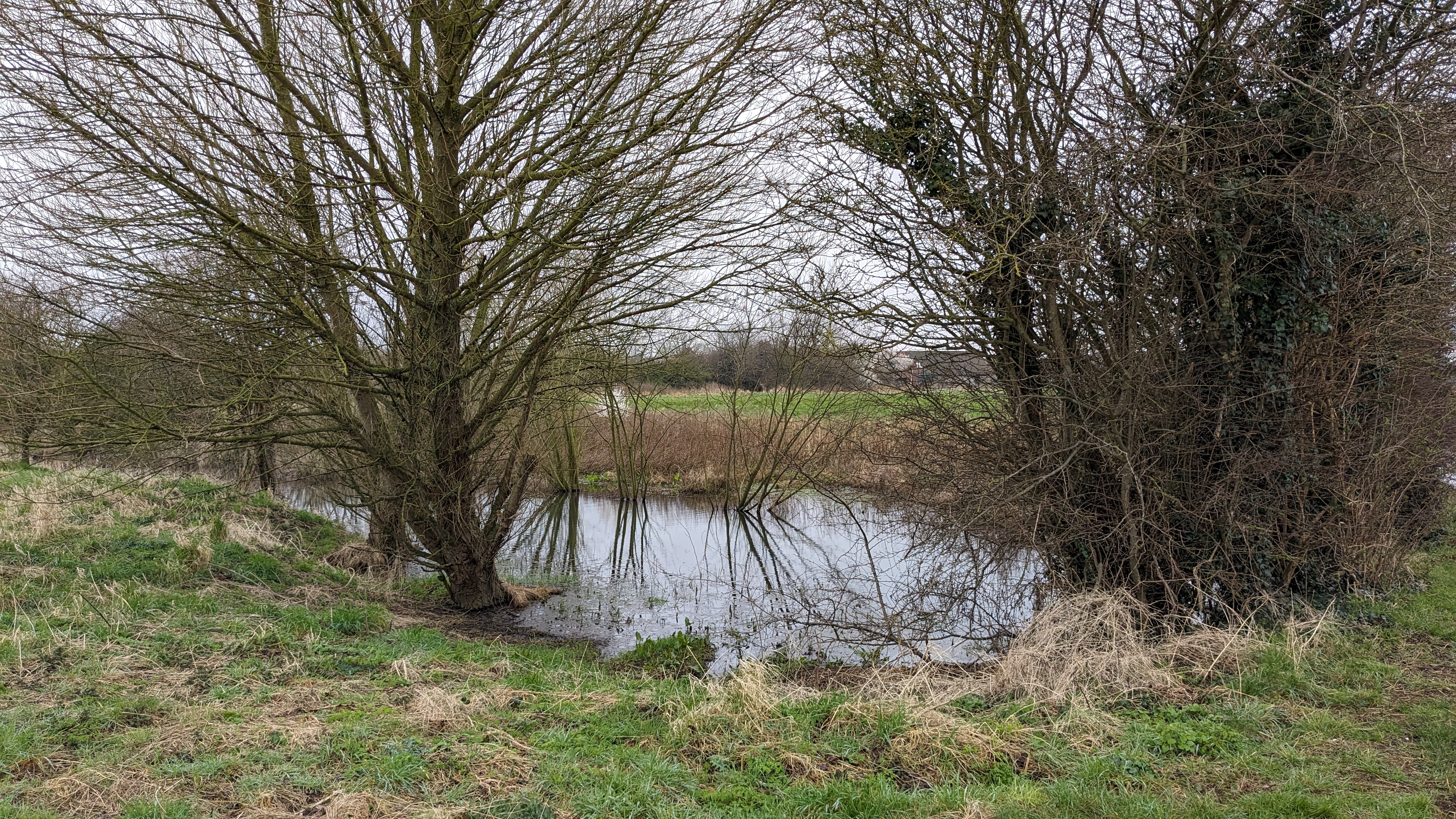
Pond at Beverley Parks. There are scattered ponds in this area that are actually springs. I wonder if these springs would have been under the sea of the Ipswichian or exposed on the shoreline.

A lone oak on the last fields before Beverley by Sheperd's Lane. This is a very rapidly developing area, the new houses in the background.

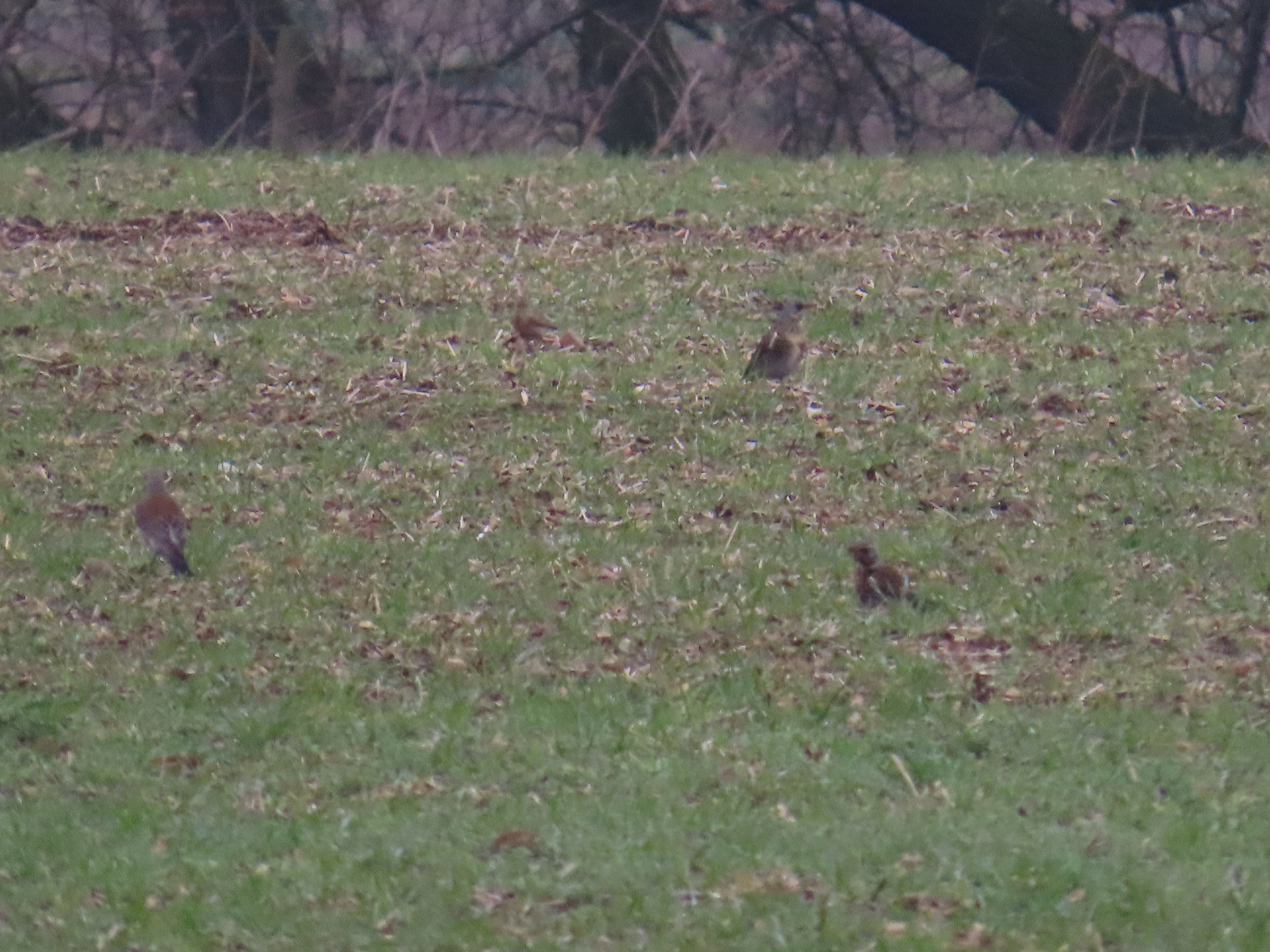
A large flock of Fieldfares

Rooks on roundabout on the edge of Beverley.

Willow Lane.

As I arrive to the end of the walk at Beverley Minster, the bells ring midday (a few minutes early, all to be said!), and I make my way to a cafe for lunch before taking the bus back home.

In contrast to today's quiet and relaxing walk, an amble in this area in Ipswichian times must have been terrifying, not least by the presence of Cave Lions and the other large carnivore of the time: Cave Hyenas.

No laughing stock: Cave Hyenas

Hyenas are an abundant and widespread component of the Ipswichian fauna. One of the key sites for British fossil hyenas is a Yorkshire site with outstanding archaeological and historical significance: Kirkdale Cave, near Kirkbymoorside. The cave was excavated in 1821 by Reverend William Buckland, having been alerted to the presence of fossils in the cave. An eccentric character, the first ever lecturer in Geology, and theologian from Oxford University, he approached the excavation and interpretation with sharp logic and innovative experimental approaches for the time. In a fascinating article on the cave, a brilliant example of paleontological analysis, he made a very good case that hyenas used the cave as a den, and the fragmented bones of a range of animals, including hippo, rhino, deer and elephant, amongst others, represented the remains of prey, having been gnawed by the powerful jaws of the hyenas. Buckland even made some experiments with a captive Spotted Hyena from a travelling zoo to test some of his interpretations regarding the fossilised faeces he found (he went on to coin the term ‘coprolites’ to refer to them). After feeding bones to the captive Hyena and examining its faeces he could conclusively determine that the coprolites belonged indeed to Hyenas. Hyenas had dragged hippo remains into their caves or the remains were found as part of their faeces.


A portrait of William Buckland. Public Domain.

From Buckland:
‘It must already appear probable, from the facts above described, particularly from the comminuted state and apparently gnawed condition of the bones, that the cave at Kirkdale was, during a long succession of years, inhabited as a den by hyenas, and that they dragged into its recesses the other animal bodies whose remains are found mixed indiscriminately with their own; and this conjecture is rendered almost certain by the discovery I made, of many small balls of the solid calcareous excrement of an animal that had fed on bone’ 
‘I do not know what more conclusive evidence than this can be added to the facts already enumerated, to show that the hyaenas inhabited this cave, and were the agents by which the teeth and bones of the other animals were there collected’


A Cave Hyena partial jaw from Kirkdale Cave at Yorkshire Museum, York. Yorkshire Museum Collection. Licence: CC BY-SA 4.0.

Another Yorkshire cave with Ipswichian deposits, and likely another hyena den at that time is Victoria Cave, near Settle. A similar fauna with Hyena, Hippo and Straight-tusked Elephants, and crucially, no evidence of humans. The time period where the deposits formed at Victoria Cave was dated by Uranium series to 120,000 years ago, similarly at Kirkdale Cave was dated as 121,000 ± 4000 yr BP, confirming their Ipswichian age. Modern hyenas den in burrows of other animals, that they enlarge, so the fact that they used these caves preserved a treasure trove of fossils of the fauna of the time. More exposed sites on plains and river terraces were subsequently erased by the last ice age.

Hyenas are a highly intelligent, social species with females being dominant to males. They live in clans of related females and unrelated males, and hunt cooperatively. Recent studies on Spotted Hyena indicate that they are more likely to hunt than to scavenge and they frequently lose prey to lions, although they also steal prey sometimes from lions too. Cooperative hunting allows them to be able to tackle large prey. Hyenas can commute long distances between their dens and feeding grounds, round trips of 80 km have been documented. So a trip of the Kirkdale clan to the Wolds wouldn't be out of the question.

One of the Spotted Hyenas at Yorkshire Wildlife Park by its den.

Where can I see them?

Cave Hyenas (Crocuta crocuta spelaea) were a subspecies of the Spotted Hyena, which became extinct in Europe c. 29.000 BP. Spotted Hyenas are currently distributed in Sub Saharan Africa. A presumed Spotted Hyena cave painting at Chauvet Cave has been deemed to be a skinny cave bear, although its legs look very hyena-like to me. A clan of Spotted Hyenas can be seen at Yorkshire Wildlife Park. Cave Hyena fossils from Kirkdale can be seen at the Rotunda Museum in Scarborough and the Yorkshire Museum at York.


Walk details. Distance: 8.3 km. Terrain: most of it flat, some on unsurfaced paths that can be muddy, the rest on tarmac. Maximum height 15 m, minimum 8 m. Start at Northgate, Cottingham, near Park Lane, end at Beverley Minster. A mix of town and rural landscapes, with arable and hedgerows and small wooded pockets and some ditches and drains.

My ink drawing of a Spotted Hyena.

More information

Buckland, W. Account of an Assemblage of Fossil Teeth and Bones of Elephant, Rhinoceros, Hippopotamus, Bear, Tiger, and Hyaena, and Sixteen Other Animals; Discovered in a Cave at Kirkdale, Yorkshire, in the Year 1821: With a Comparative View of Five Similar Caverns in Various Parts of England, and Others on the Continent. Philosophical Transactions of the Royal Society of London 112, 171–236 (1822).

Barnett, R. The Missing Lynx: The Past and Future of Britain’s Lost Mammals. (Bloomsbury Publishing, 2019). 352 pp.

Kruuk, H. The Spotted Hyena: A study of predation and social behaviour. (Echo Point Books & Media, LLC, 2014).

Boylan, P. J. A new revision of the Pleistocene mammalian fauna of Kirkdale Cave, Yorkshire. Proceedings- Yorkshire Geological Society 43, 253–280 (1981).

The discovery of the kirkdale cave. Natstand.

Monday, 20 November 2023

A walk on the south of Beverley

I took the bus to Beverley and started my walk at Victoria Road by Normandy Av and weaved my way along green lanes towards Willow Lane. This was a walk of the wet side of Beverley, including various springs, becks, drains, Beckside and the River Hull.

A Chiffchaff was calling from the bushes and I managed a record shot..

This is a spring at Keldmarsh, the water bubbling from the sandy bottom in various places. I follow the stream along Willow Lane, there are still several mature White Willows along it and large patches of Water Startwort. There is a lot of house building in this area, making the OS map quite obsolete. I carry on via Long Lane until the Minster, and then make a stop at Flemingate.

The Keldmarsh beck along Willow Lane.

Water Starwort.
Moorhen.
Beverley Minster.
A Jackdaw inspects under a gutter, but then moves some leaves out of the way and gets a morsel it had probably cached there before.

After a hot drink and a snack I continue along Flemingate towards Beckside. I had never walked this western end of Beckside. I continue, checking the information panels about history and heritage of Beverley Beck.

Old restored barges at Beckside.
Crane and anchor.
Mallard at Beverley Beck.

Blackbird feeding on crab apples.

I cross under the road bridge. It has been cloudy, mild and still, but now it started to drizzle. A Kestrel is flying around Figham Common calling loudly and flushing the Starlings and Goldfinches. It eventually lands atop a tree. The Beck looks more wild now (top shot), but it is straightened and embanked, it was probably very marshy in the confluence of the river Hull and the Beck before the embankment was built.


Figham Common with cows and gulls.
A posing Blackbird.
More photos from the common.


Rook
I get to the lock between Beverley Beck and the river Hull.

River Hull.
Cormorant fishing in the River Hull.

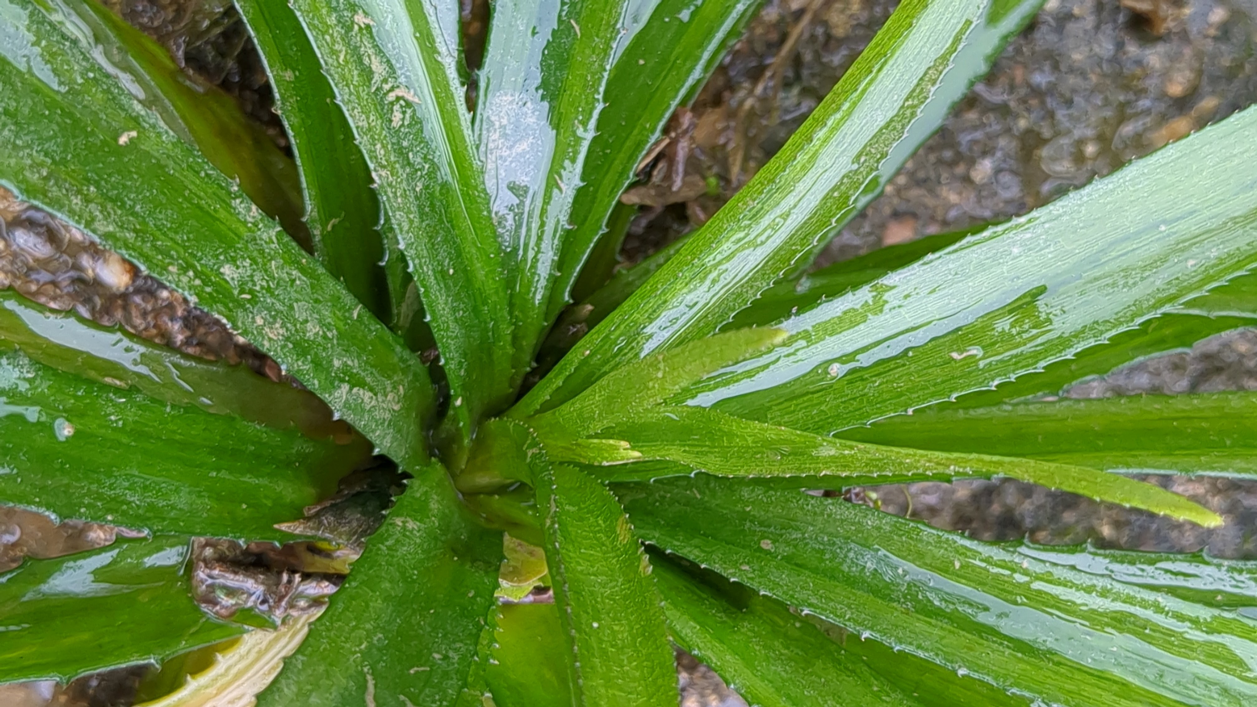
Time to turn back. I find some Water Soldier plants in Beckside. They are more plentiful near the lock, but I find another near the start of the canal. There are old records of this native species in Beverley, but it hasn't been seen for a long time. It will be interesting to see if it comes back next year. It might just be a release, as the plant is sold as a pond ornamental.

Water Soldier.

Beverley Beck.