Monday 19 March 2018

Walking the Humber. Stage 9. Paull Holme Strays to Old Little Humber

I arrived at Paull Holme Strays two hours after the high tide. A strong, chilly northeasterly wind blew relentlessly, although it was sunny most of the way. I walked first to the west breach, by the lighthouses and watched the birds on the foreshore sheltered by the old gun placement. Like last week, there were a lot of wigeon, also Oystercatchers, dunlin and turnstones, and also four Avocets on the mud, which Paul Martin, from Paull Holme Strays blog, kindly pointed to me.
 From then I retraced my steps along the floodbank all around the site and then carried on by Little Humber farm.  The highlight a Barn Owl by Holme Hill and a Buzzard being mobbed by magpies, which flushed an enormous flock of Woodpigeon. The bank has large cropping fields with ditches and a hedgerow by the bank. On the other side, a large and continuous expanse of saltmarsh and mudflats, partially sheltered by the parallel Foulhome Sands in the Humber.

Managed realignment
Paull Holme Strays is a very new reserve, at just 15 years old, the first managed realignment project of the Humber Estuary. After the Environmental Agency built a new flood bank inland, the old sea wall was breached in two places, - one of them by the lighthouses, the other to the east of the site - in October 2003, flooding over 200 acres of land. The site is managed by the Yorkshire Wildlife Trust now. Managed realignment serves two purposes. One of them is conservation, by allowing saltmarsh to colonise new land, as compensation to habitat lost both through development and through coastal squeeze as sea levels increase. The second is to make flood prevention more economical, as the new defences will be less battered by the tides due to the dampening effects of the saltmarsh, and will be cheaper to maintain. However, the loss of prime agricultural land is at odds with the traditional trend of land reclamation from the sea, often in the same area that is now tidal again, and there is often some local opposition to realignment schemes. In fact, part if the eastern side of Paull Holme, 'The Outstrays' was reclaimed very recently, as it was still saltmarsh in 1946. 'Outstrays' and 'growths' are local words used to denote land beyond the sea wall, often newly emerged from the high tide, which was often used for pasture. At that time, the western side was called South Pasture, so it was also likely to retain an element of saltmarsh, although it had already been embanked.

Did it work?
Since the breach the site has become a rich, diverse habitat, much of it intertidal, with only the higher spots remaining over the water on spring tides. The habitats include grassland, saltmarsh, mudflats creeks and ponds. Saltmarsh vegetation and estuarine invertebrates rapidly colonised the site, but the mudflats created still have less biodiversity and biomass when compared to the mature saltmarsh outside the site. In addition, the site is silting substantially, so there has been less mudflat creation than expected, and more saltmarsh, questioning that the compensation for loss of mudflat to development has been successful. Despite this the reserve has become a haven for birds and one of the best birdwatching site east of Hull (featured in the recent book Best Birdwatching Sites in Yorkshire). The less disturbed open habitat with wide mudflats available during high tides attract roosting waders such as Golden Plover, ducks and geese. 172 bird species have been recorded at the site. There are also 13 species of Damselflies and Dragonflies recorded on the site.
Featured Bird: Golden Plover
The Humber estuary is an internationally important wintering site for Golden Plovers, with the largest UK population, an average of over 25,000 birds with stable or increasing numbers. They form large flocks that roost on the mudflats, often in the company of Lapwings. They are quite common at Paull Holme Strays, with a large flock (some times over 10,000 strong) often roosting inside the breach or in the mudflats outside. The photo above was taken at Alkborough Flats at 11/10/2015. Although there was a large flock at Paull Holme last week, I didn't get any good quality photos.

More information
YWT site for Paul Holme Strays. Here.
Paul Holme Strays blog by Paul and Peter Martin. Here.
Mazik, K. et al. Managed realignment as compensation for the loss of intertidal mudflat: A short term solution to a long term problem? Estuar. Coast. Shelf Sci. 90, 11–20 (2010).
Approaching the new floodbank.
View of the new saltmarsh and mudflats at high tide. The western breach in the background.
The red lighthouse, a good vantage point.
Turnstone.
Wigeon and Mallard.
Grey Plover in the wind.
A small flock of Ringed Plover on the mudflats.
Avocets.
Curlew, Redshank and Teal.
Song Thrush.
Holme Hill. One of a few hillocks in the area, made up of gravels as part of a Pleistocene moraine.
Barn Owl by Holme Hill.
Crow and Oystercatchers feeding on the new bank.
Roe Deer resting out of the wind, by the shelter of a hedgerow.
The recently restored Paull Holme Tower.
Little Egret on a creek. 
The site of the eastern breach, with the birdwatching hide in the background.
The NE corner of the strays, with tideline debris.
Hide near the eastern breach.
The large, flat field of Little Humber.
Saltmarsh near Little Humber.
Flock of Woodpigeon, flushed by Buzzard.
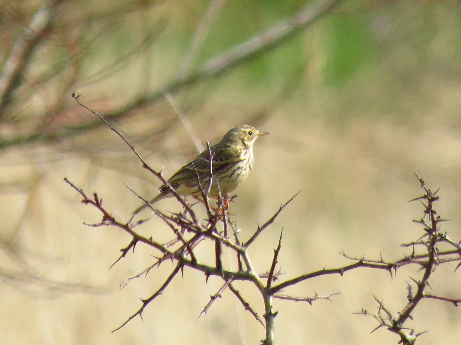
Reed Bunting.
Old Little Humber farm. The end of today's walk.
Saltmarsh and grassland opposite Old Little Humber farm.
Today's stage. 11 km round trip.

Tuesday 13 March 2018

Walking the Humber. Stage 8. Hedon Haven to Paull

I park by the sea wall at Paull. The tide is low, and there is light cloud with a few sunny spells developing later. It is very mild, with little or no wind. I climb the sea wall and walk up the estuary towards Hedon Haven.
 A dozen Curlews feed on an arable field by the village called South Pastures, a reminder that much land by the estuary was flooded at spring tides and was therefore grazed. After the sea wall was built to protect the village from flooding, the field could be ploughed and used for crops.
 From the other side of the wall, I hear the hoarse croaks of squabbling Shelducks. Many of them are scattered across extensive mudflats feeding on the wet mud.
Chasing Shelducks.
Shelducks feeding on the mudflats by Paull village.
A couple of Cormorants make use of wooden structures marking the deeper section of the Hedon Haven channel.
The tidal river that is Hedon Haven roars down, swollen by yesterday's rain all the way up to Pollard Clough (top shot). The Clough is a sluice which prevents sea water from going upstream during high tides and eases flow at low tide, preventing flooding upstream. Teal, redshank and a lone Black-tail Godwit rest on the shore...
and a Curlew feeds on the other side of the Haven.

The old carcass of a large ship is beached on the saltmarsh opposite, like a fossil witness of the era when Hedon Haven was used for navigation, holding a fleet of shrimping boats.
I cross the clough and continue on the other side of the Clough, downstream.

 I am surprised to see a pair of Roe Deer, at the other side of the fence on the Salt End grounds, with the towering presence of a cooling tower of the power station as background. They seem completely unperturbed and carry on grazing.
Female Roe deer.
Male Roe Deer.

There are a few ponds with some grassland around. On the path the remains of gravid frogs, the uneaten spawn of at least three, maybe eaten by a fox.
I reach the end of the path, with a metalling fence blocking the way around the Salt End site, so I return towards Paull. The clouds are parting and is noticeably warmer
 I get a straight view towards the Humber Bridge, with the exposed mudflats and feeding birds on them.
 The beach at Paull, with a couple of rotting boats. The shipyard is on the background on the left.
The sea defences at Paull are being repaired or replaced around the shipyard and just north of the lighthouse. This is the view from the street, into a courtyard. Instead of making the sea wall higher in front of the houses, a reinforced glass window has been placed atop the wall, allowing the visitors and locals a view of the Humber.


Paull Lighthouse.
The long glass wall around Paull.
As I cross the playing fiend by the sea well works, a Small Tortoiseshell, my first butterfly of the year flies past, setting ahead on a mole hill.
I take a little detour into the woods by Paull Fort, which is on a small promontory (about 10 m high) on a glacial moraine, which also explain other hills near Paull. I flush a Woodcock from the undergrowth just by the ditch around the fort wall.
 I continue into the old sea wall holding two lighthouses. This is Paull Holme Strays, which I will explore more fully in the next stage.
 I have lunch on the wall by the red lighthouse. Past the breach, a flock of Golden Plover circles and then settles on the mudflats. There are Lapwing, Redshank, Dunlin, lots of Wigeon and Curlews. Again, a telescope would be very useful as the birds are mostly distant.
Golden Plover.
Carrion Crow on drift wood.
The western breach at Paull Holme Strays.
Meadow Pipit. Just landed from its parachute song display.
Some House Sparrows sand bathing on the side of the road at Paull village.
Time to head back home, really looking forward to the next stage!
Featured Bird: Shelduck
The Shelduck is our largest duck and it can be found in the Humber all year round. It is a striking bird, hard to confuse with anything else and easy to identify even at long distances due to its bold colour patterns. They appear black and white in the distance or at poor light, but on close views its bright vermillion red legs and bill and dark green metallic head and maroon bands become apparent. The male is visibly larger than the female, with a large knob on the bill. Shelduck are Amber status, and the Humber holds over 4,000 individuals during winter and a moulting aggregation in late summer, when these ducks are unable to fly and therefore vulnerable. They also breed in the area.
Today's stage walk, 9.37 km.