Showing posts with label canals. Show all posts

Thursday, 13 July 2023

Pocklington Canal and White Carr Meadow Pastures

A trip with the Hull Natural History society to a stretch of the Pocklington Canal between Coats Bridge and White Carr Meadow, a SSSI adjoining the canal. This was my first visit to Pocklington Canal. It's a warm and sunny afternoon, ideal for insects. After the group assembles, we move onto the canal towpath, where volunteers are working on the Coates lock. 

Coates Lock.

The canal opened in 1818, but it fell into disuse with the advent of road transport and locks became non functional. The section we walked along today is not navigable, although the Pocklington Canal Amenity society has worked to increase the length of navigable canal by dredging and lock restoration, currently between the river Derwent and Melbourne. 

At a ditch by the canal, we spot the first Banded Demoiselles, a Common Darter and Meadow Brown Butterflies. 

Banded demoiselle.
Common Darter.
Ovipositing Blue-tailed Damselfly.

Corn Bunting, Yellowhammer and Reed Bunting sing together near the meeting point, but I only manage to photograph the Yellowhammer.

We move onto the meadows. It is exhilarating how diverse in plants these wet meadows are. Many new species for me and an abundance of insects. The highlight is a few Marbled Whites. 

Walking along the meadow.
Pepper Saxifrage.
Gatekeeper

Common Blue damselfly.

Rutpela maculata, a longhorn beetle fond of Hogweed.

Marbled White.
Comma.
Mating Green-veined whites
Ringlet.

The area upstream of the lock has clear water with Yellow Water Lilies. Common Blue damselflies and Blue-tailed Damselflies are settled on the lily pads or ovipositing. A pike stood on the water, immobile like a log, while a Kingfisher darted downstream above the trees.

Pike.

Monday, 20 November 2017

River Hull. Stage 17. Whinhill Farm to River Head and Bell Mills

This is the last stage I can do on the river Hull using public rights of way, and therefore the last chapter in the walk up the River Hull. I split the trip in two, the first one the walk from River Head at Driffield down the Driffield canal via the canal towpath, which runs parallel to the river, and the second the accessible section around Bells Mill.
 It is a gloomy day, although not too cold and the forecast was for rain all morning, however, for most of the walk it was dry. West Beck (the local name for the river Hull here) at this stage is still only about 14 m over the sea level, and its waters will only rise another 10-15 m in the springs around the village of Kirkburn, west of Driffield forming Eastburn and Southburn becks, which merge into Driffield Trout stream. Another set of springs arising between 20-30 m, NW of Driffield form around Elmswell Beck and after the Keld become Driffield Beck. Geologically, these springs sit at the base of the Yorkshire Wolds, in the interface between the porous Cretaceous chalk that forms the backbone of the Wolds and the impermeable Kimmeridge and Speeton clays that sit underneath it. The springs themselves and the becks described above are not public right of way.
 I walk around River Head, with listed warehouses and mills witnesses of an era when Driffield flourished due to the canal traffic. Some of these are now converted into flats.
View from Riverhead, which is in fact the start of Driffield Navigation. The canal is fed by one of the river Hull tributaries, simply called 'The Beck', which runs across the middle of Driffield.
The Beck, upstream of Riverhead.

View of one of the listed warehouses by Riverhead. The crane to the left of the photo in the background is also listed.
Information panel on the Driffield Canal.
The canal is broad and shallow here, with transparent water and abundant aquatic vegetation. I spot several large Brown Trout in it. A male Muscovy duck displays to an indifferent Mute Swan on the canal.
Brown Trout.
Muscovy duck in hot pursuit of the Mute Swan.
Cormorant showing its good balancing skills on wires.
Once the canal leaves town, the towpath on the side of the river is lined by fences and hedges, but occasionally I can get a glimpse of the river. The area, of riverside grassland, fen and swamp is called The Bottoms and the chalk stream is fished for Brown Trout and Grayling.
The Bottoms.
A bend of the river Hull (west Beck) visible from the towpath.
West Beck.
I see at least five Little Grebes between the canal and the river in this stretch. Here, one with a Mute Swan.
Little Grebe on the side of the canal.
A group of Fieldfares and Redwing.
I quickly arrive at Whinhill Farm, opposite to the end of last stage and turn round. It has started to drizzle. After the lock I count three Little Grebes in the canal. A Kingfisher flies past, settling just on the opposite bank and giving me some photo opportunities while it fishes.
A bull Highland cattle.
Driffield Lock.
Muscovy duck.
Kingfisher.
Kingfisher.
Kingfisher.
Canal crane.
Loafing Black-headed gulls by the canal.
A Little Egret at River Head.
 For the second part of the walk, I drove to Bell Mills. The river is split into different arms, some of them feeding the mills themselves. There is also a lush island covered on riverside wet woodland, with Alder and Willow carr. After a walk around the area, I celebrate the end of the walk up the river Hull with a hot bowl of soup in the Bell Mills cafe.
Pair of Mute Swans with Bell Mills island on the background.
A shallow chalk stream by the mills  
Another view of West Beck near the Mills.
Bell Mills island on the right.

Bell Mills, which used to be a water mill. Now Bradshaw Flour Mill.
Bell Mills outflow

The end of the public right of way by Bell Mills island.

More information
River Hull Headwaters. SSSI information.

http://www.yorkshirepost.co.uk/news/environment/a-bridge-too-far-for-driffield-1-3300464

A circular walk from River Head to Wansford and to Nafferton here.

Monday, 22 May 2017

River Hull. Stage 10. Leven Canal to Baswick Landing

This is a very remote and beautiful stretch of the River Hull, with just a few farms. Not only there are no bridges, there are few roads reaching it, so after some consideration I decided to start the stage at Baswick Steer farm, where I parked, walk down river until Leven Canal and then return via the same route.
 It was a warm, sunny day with a southerly breeze. Baswick Steer is a farm by the River Hull with a gate that allows access to the public footpath down river. On the opposite bank is Tophill Low, the Yorkshire Water nature reserve, so I expected to see some interesting wildlife.
 Most of the river floodplain here, as in previous stages, is on very low lying agricultural land and pastures, the large fields are drained by ditches, with hedgerows and the occasional copse. The river is still corseted by high grassy, level clay banks. The water is now quite clear, and there are some open accessible banks where I could see fish and aquatic invertebrates (top). Reed Buntings call all through the stage from patches of reeds. A Cetti's Warbler sings near High Baswick farm.
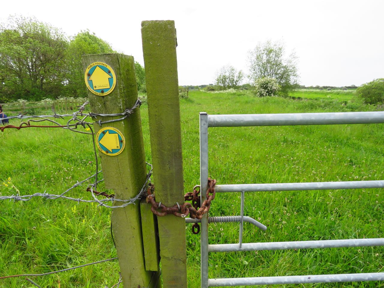
Despite the signs of Public Right of Way, gates between the farms did not appear to welcome the walker, as several were either padlocked, tied shut or were not easy to open. The path over the bank hasn't been mowed in months either, and in a section south of Linley Hill the grass is up to my waist.
 I pass by Wilfholme Landing, with colourful boats and boathouses where Swallows are nesting. There is also a House Martin colony in one of the houses and a pair of Pied Wagtails.
 This is also the first stage in the river in which I see dragonflies, the first one a Hairy Dragonfly near Leven Canal, which rises from the grass before I can take a photo. Also Large Red Damselfly and a couple of blue ones that don't settle.
I finally reached Leven Canal, a SSSI which runs in 5 straight km between Leven and the river. I had my lunch as a cuckoo called. A beautiful female Broad-bodied Chaser flew over, carrying prey. It found a sheltered spot by some brambles and settled, allowing close views. As I was still sitting eating, a Hobby! I dropped my food and grabbed the binoculars. What stunning raptors they are! Before it disappeared over the trees I even managed a record shot.
 It was time to turn round and retrace my steps (4.22 km each way was today's stage). The path I had opened on the tall grass made the going easier.
 Near Linley Hill Farm, I see a couple of black labradors on the bank, just ahead of me. Nobody is with them, my heart quickens. They spot me and come barking furiously. Shielding myself behind my backpack, I greet them as if they were my dogs, cheering and asking them to walk along back home. One of them calms down straight away and starts trotting back to the farm, the other barks for a while longer, but finally follows the other. I breathe a sigh, put my backpack on and carry on. Fortunately, they don't come out of the farm as I walk past.
 As I get to Baswick Landing, I go down to the bank to wash my feet. It's a muddy bank. I look forward to the chalk banks upstream for a dip!
 As I put the 4 km2 lists in Birdtrack, I realise that I've had 60 bird species today, a very decent list given it wasn't a nature reserve.
Baswick Steer farm, looking upstream. Tophill Low is on the left hand side beyond the river bank. 
The tiny jetty at Baswick Landing. 
A Moorhen busy carrying nesting material to the other side bank. 
Shelduck and ducklings. The drake flew off and circled over, trying to distract me from his family. 
Canada Geese family. 
An Oystercatcher rises to mob a Marsh Harrier near Tophill Low. 
Singing Whitethroat. 

Spotty horse. 
The flock of domestic geese have a couple of goslings. 
Colourful boats at Wilfholme Landing. 
Singing Swallow on a boat. 
The meandering river Hull. 
Little Egret.
mmmm... 
Female Broad-bodied Chaser. 
Record shot of Hobby
Large Red damselfly. 
The path I opened in the bank, on the way back. 
6 spot Burnet caterpillar (thanks to Harry Witts for ID). 
Benches overlooking the river at Linley Hill farm. 
Pied Wagtail by Baswick Steer Farm.
Mayfly. 
Stone Loach, thanks to Harry Witts and Robert Jaques for ID. 
Leech.

The stage map
Check the wild at Hull map for more details.

More information
Leven Canal. A Yorkshire Dragonfly Group site.
Tophill Low Nature Reserve. Website.