Monday 22 June 2020

Migrants way. Stage 9. Mappleton to Hornsea

A sunny, warm day with a south westerly breeze. I start my walk at Mappleton at 8:30, about an hour after high tide. Today's walk is mostly on the beach. As the tide ebbs, the huge expanse of the sandy beach opens. The cliffs are about 15 m high, with a reddish till at the top and a purplish one at the bottom.
At the top of the beach there is a band of exposed clay bed with stuck pebbles, occasional glacial erratics, and shingle with some pieces of wrack in the tide line, then there is clear sand.
Fossil hunting
This is a good fossil hunting area. The fossils were brought here in the till with the glaciers from the Jurassic, Cretaceous and Carboniferous clays and rocks from Flamborough and more northerly areas. I find an ammonite fragment, Gryphaea, a snail, and coral fragments. The photo above shows my little haul.

Mappleton and Rolston sands
A Curlew flies north by the beach. An then a Cormorant. I can hear a Skylark singing from the fields above.
At Rolston Sands there is a busy Sand martin colony.
 The Sand Martins fly low over the beach in groups: one lands and the others follow, just to fly again. It looks like a dare game, or maybe they are collecting nest material?
I move to the top of the beach and, on the tide line, I find a dead Puffin. No rings. Sadly, this is my first Puffin this year.
A Buzzard hovers overhead. Linnet sing from the soft cliffs.
A Gannet flies south, then changes its mind, rises and drops down into the water to fish, like a missile. A little splash, it missed! Then it laboriously takes off.
 As I arrive at Hornsea I spot a Great Crested Grebe on the sea.
I get to Hornsea defences. These are widely used as an example on the effect of hard structures on rates of erosion.
I climb the steps to the promenade and after the boating yard I walk by the public footpath by Stream Dike.
Up to now the drains and streams flowed towards the Humber estuary, from now on. the streams flow directly to the North Sea. Stream Dike is the outflow to the sea from Hornsea mere controlled by a sluice. My plan was to visit Kirkholme Point at Hornsea Mere for lunch. Unfortunately, the entrance to the point is gated, and locked. A local lets me know it opens Thursdays to Sundays. I walk to Fair Place instead and sit on a bench and watch the swifts and hirundines above. Then a Swallow alarm calls and I see a Hobby in hunting mode chasing swifts! A Cetti's Warbler sings. Then I hear two booming notes, a Bittern? After a short rest, I move to the southern side of the mere, from where one of the islands, Swan Island, and a gravelly spit behind it, are visible.
Hornsea Mere
Hornsea Mere is the largest natural lake in Yorkshire and the only surviving mere in Holderness. It is a freshwater, shallow lake (1.2 m deep on average) of glacial origin, forming as the ice melted and the water dammed by a moraine. The lake is fed by several streams. It is fringed with a belt of reedbeds and fen and grasslands. Carr woodland is best developed on its west end, at Wassand. It is a SSSI for its aquatic plants, wetland habitats and wintering and breeding bird populations, and Special Protection Area due to the large numbers of post-breeding and moulting Mute Swans and over-wintering Gadwall. In addition, Hornsea Mere is also well known for its autumn concentrations of Little Gulls. It is a magnet for swifts and hirundines, and Hobbies are not uncommon. The birds of the mere are documented on the Mere Birders Blog. The fact that the lake is close to the sea and the combination of habitats means it can attract a range of marine birds, especially in rough weather, and rare migrants. The mere bird list is an impressive 232 bird species.
Swan Island from the SE corner of the mere.
I make my way back via the Hull to Hornsea train track, and retrace my steps.
The tide is now almost fully out. Gulls coast or loaf by the water line: Herring Gulls mostly, but also the occasional immature Great Black-backed gull and two Lesser Black-backed gulls. Two Black-headed Gulls and a Common Gull.
Immature (2nd summer) Common Gull.
Great Black-backed Gull (3rd summer)
The gulls' loafing place.
Herring Gulls and Lesser Black-backed gulls.
An Oystercatcher flies over and starts feeding not far from the loafing gulls. The gulls are keeping a close eye on it, as when it catches something, a Herring Gulls pursues it.
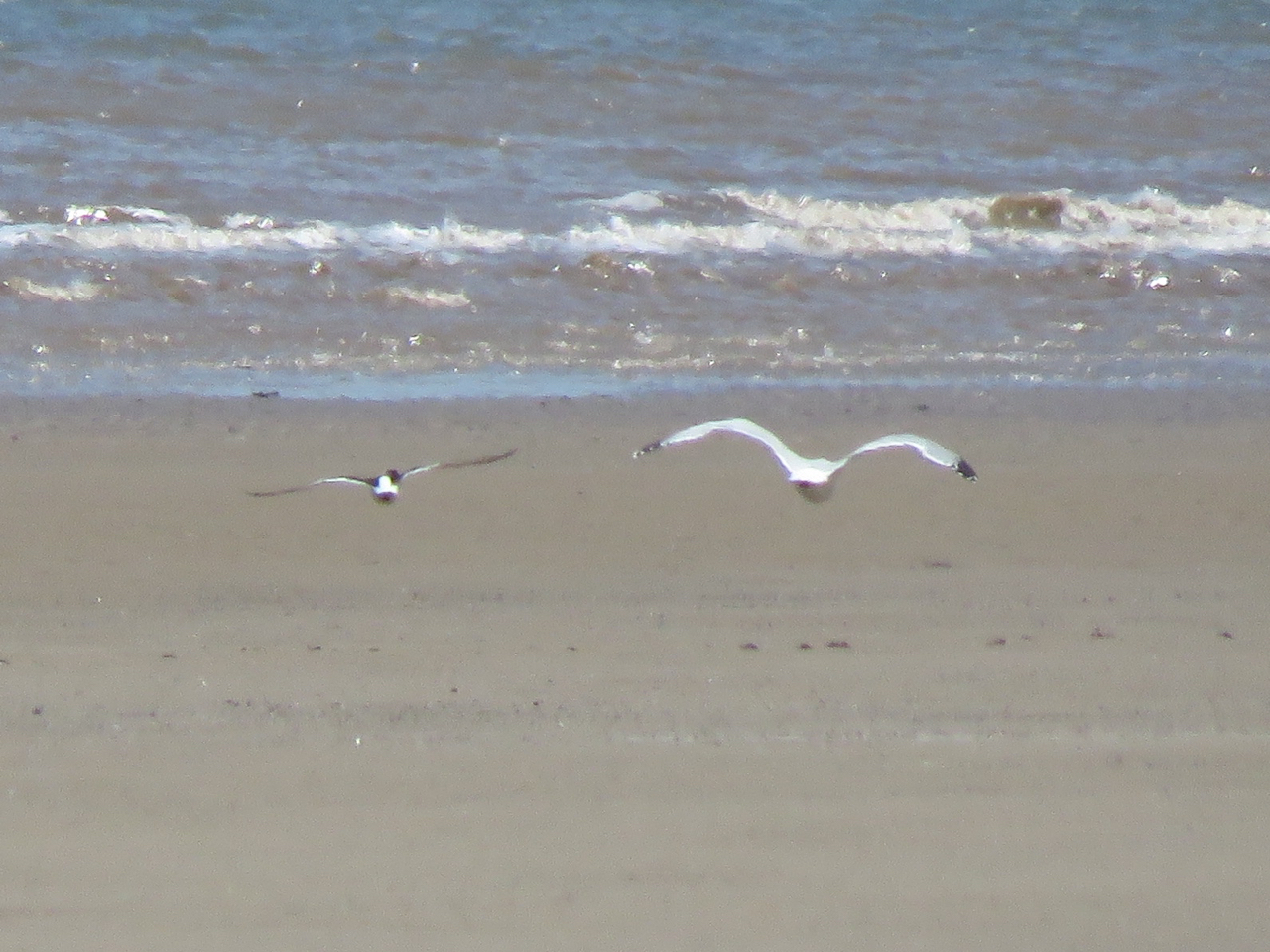
Herring Gull chasing Oystercatcher.
It has been quite interesting to be back on the beach for a walk. Next week, I'll start at Kirkholme Point, where there is a much better view of the Hornsea Mere and its birds.
Record shot of Hobby today.
Featured bird: Hobby
The Hobby is a migratory falcon. It hunts on the wing, and is very agile, catching hirundines, swifts and dragonflies in mid air. It gives a dark, giant swift impression. I was lucky today to watch a Hobby as it hunted, flying very fast and doing stoops. Although it is by no means common, the Hobby is expanding its range, possibly following the expansion and increase population numbers of their dragonfly prey due to climate warming or habitat availability, as Hobbies favour gravel and sand quarries. It is Green Listed.

Walk information
13 km circular. Start: Mappleton Beach car park TA227438 (free). Finish at Hornsea Mere. Walk on the beach. Check tide tables. Beach can be accessed at slipway at Mappleton Cliff lane, and though steps by promenade at Hornsea. Coffee shops and toilets at Mappleton and Hornsea.

More information
Fossils at Mappleton beach https://ukfossils.co.uk/2010/03/16/mappleton/

Tuesday 16 June 2020

Migrants Way. Stage 8. Aldbrough to Mappleton

 The day started well, as I drive to Aldbrough I spot a Barn Owl hunting just before Flinton. I park nearby and stand by a fence to watch it hunting around a grassy field surrounded by ditches and hedgerows by a farm. When I get to Aldbrough later I realise why the barn owl was hunting so late in the morning. There is a sea fret, a mist or fog coming from the sea due to the northeasterly wind, which is now clearing up, the owl probably didn't hunt during the night, more due to the moist air wetting their feathers than to the lack of visibility. Aldbrough is the closest stretch of beach to Hull, and in the XIX century it was promoted as the Hull 'spa'. Two hotels were built by a seafront road. Alongside this road, many bungalows, called cliff top ‘hutments’ were built. However, the lack of train connection to Hull, unlike Hornsea and Withernsea, and poor access to the beach as there were no defences meant that it didn't develop as much. Finally, the road, the hotels and most of the 'hutments' were lost to the sea. Today, a fisherman had braved the cliffs and was on position as I started my walk, just underneath the disappearing Seaside Road at Aldbrough.
No parking
Meadow Pipit
The mist lifts as I join the clifftop path. It is overcast, but there is barely any wind. As I get to the limit of the firing range I see another Barn Owl hunting, this is a first for me, two Barn Owls in two different places! An Oystercatcher flies over. From here on, I have to leave the clifftop and turn inland.


The end of the clifftop path
Firing Range going wild
RAF Cowden air weapons range operated until it's closure at 1998, due to coastal erosion. Ordnance buried on the ground falls to the beach and unexploded shells have to be disposed off by bomb disposal teams. This still has occurred regularly after cliff falls. The range covers a very large area, 240 ha, and this section does not have a clifftop path, but there is a road around the perimeter of the range. The timeline view from Google Earth from 2003, chronicles how the site gradually turned into a wilderness, with patches of thick hawthorn and gorse scrub with wetter areas and more open areas of grassland. There are some alder and willow by ditches and large patches of bramble. Since the place stopped being a firing range, access has been deterred. The site illustrates how wildlife can thrive once humans are taken out of the equation. I am reminded of the story of Chernobyl and how wildlife is thriving there.
By the perimeter path there is a swampy area that appears relatively new as there are death hawthorns sticking out of the water. I head a water rail, moorhens and little grebes cackling.
I start walking slowly, as the soundscape is amazing and is hard to take it all in: Chiffchaff, Willow Warbler, Whitethroat, Blackcap, Reed Bunting, Song Thrush, Sedge Warbler, Blackbird, Woodpigeon, Skylark and Robin, Linnet and then, a Cuckoo! I'm not sure why I look at my watch, it's 10:00, seems appropriate. The Cuckoo keeps calling as I walk, and on the way back I see two, the male calling as it flies across the scrub. Then I hear a Cetti's Warbler. Several times, I had to stop and just listen to try to disentangle the different songs to put together my bird list. 
Grassland

A hedgerow by a ditch, from where a Cetti's Warbler sung.
A board held together with large nails is an imaginative bridge across a ditch near Garthends lane.
Plenty of warning from landowners warning of the lack of coastal path access at Garthends lane.
Afterwards, I walk along the stretch of road between Mill Hill Farm and Mappleton. The poppies on the verges are looking beautiful. There is a lot of traffic though, the walking becomes easier after the Cross Keys pub, when a narrow pavement on the verge connects the pub with the village.

The view towards Mappleton
I haven't written much about coastal erosion so far during the Migrants Way walk, but on the cliffs north of Aldbrough the tide line is made of armoured mud balls, indication of active erosion. It is quite a sight.
A beach littered with mud balls north of Aldbrough

Rapid erosion
Made of soft glacial till cliffs exposed to the powerful waves of the North Sea, the Holderness coast has the fastest erosion rates in Europe, and for several centuries the rate or erosion has attracted a lot of local and academic interest (you can explore the rates of erosion on the East Riding coastal explorer). The prevailing waves hit the coastline from a northeasterly direction, so that the average sediment movement is south. Over 30 towns have been lost since Roman times. The names of the towns lost in the last few centuries cling to the cliff-edge in OS maps, in fields, lanes or farms: Dimlington, Out Newton, Owthorne, Sand-le-Mere, Monkwith, Ringborough, Great Cowden. Others have left no trace, their locations up to 2-3 miles offshore. Yet other villages retreated further inland, then calling 'Old' the village that was lost (Old Kilnsea, Old Withernsea and Old Aldbrough).
Sea Defences
Two rock groynes and a sea wall at Mappleton were built as sea defences in 1991, when many houses in the town including the B1242 road between Withernsea and Hornsea became at risk. The defences have slowed down erosion and allowed the establishment of a high beach. However, the effect of the coastal defences downstream - between Mappleton and Aldbrough - has been the opposite, and it now has one of the fastest rates of erosion in the Holderness coast (over 3 m/year on average).
The high beach at Mappleton. With the north groyne and Hornsea in the horizon.
Caution signs warning of the possibility of unexploded shells at the beach.
The view is very different looking south from the defences at Mappleton. A bay is forming, with the beach level much lower, often exposing the clay underneath. The photo was taken a couple of hours before high tide, and the beach was impassable as the sea lapped the cliffs.
I have my lunch on the rocky spit at Mappleton beach, and do a spot of sea watching. A raft of Herring Gulls floats just offshore, and behind them are two Red-throated Divers.
Red-throated diver.
 A couple of Common Terns and a Sandwich Tern fly south.
Common Tern.
A fisherman catches a flat fish. There are a few families on the beach, but it is very peaceful, and the weather very pleasant with the lack of wind. Time to start the walk back, though! I make my way back to Aldbrough by 2 pm. This has been one of the most interesting walks of the way.

Featured bird: Cuckoo
The Cuckoo is a summer migrant, a bird of farmlands, scrub, heaths and reedbeds, habitats where Dunnock, Meadow Pipit and Reed Warbler, the most commonly Cuckoo hosts can be found. Hearing the first Cuckoo used to be one of the signs of spring, but hearing a it nowadays is much more unusual event. This is because Cuckoo populations, like other long-distance summer migrants that winter in the African tropics, have halved in 20 years. The species has been Red Listed in the UK since 2009. Research supported by the BTO, including satellite tagging, has provided detailed information on the migratory routes taken and the likely causes behind the decline.

Walk information
June. 11 km. Start: Aldbrough seaside lane car park TA255394. Free car park. CAr park and toilets by slipway at Mappleton. Finish at Mappleton beach by Cliff Lane. 'The Old Post Office' tea rooms and shop. Beach access: slipway down to beach at Mappleton.

More information
Ostler, Gordon. Coastal Erosion and the Lost Towns of Holderness. Humberside Geologist No. 14

Sheppard, Thomas. The Lost Towns of the Yorkshire Coast and Other Chapters Bearing Upon the Geography of the District. PublisherCreative Media Partners, LLC. 370 pages

Tuesday 9 June 2020

Migrants Way. Stage 7. Garton to Aldbrough

 A beautiful sunny, mild morning with no wind, I head to the start of the walk at St Michael's Church, Garton.
The first part of the walk is inland, due to lack of access, but the last stretch before Aldbrough I do on the clifftop path.
There is a new woodland by Garton, a Willow Warbler sings from it. Beacon Hill, on the right reaches 25 m over sea level. The public footpath is straight, a track between fields of wheat and barley. As I top a ridge I can see the sea, with Flamborough in the horizon.
A Skylark sits on the wooden footbridge over East Newton Drain (top shot).
After this, there is a field of flax, which is starting to bloom.
At Ringbrough Farm I hear the first Corn Bunting. On the way back I count five singing males around the farm, two of them on the approach road, singing on the wires, the rest atop hedgerows. At some point, three species of bunting are in the same hedgerow near the farm building.
Corn Bunting.
Yellowhammer.

A Yellowhammer carries food, nervous atop a hedge. 
A new road was built when a Gas storage facility was set up in the area. I carry on the straight path to East Newton, I see a Grey Partridge ahead, but it scurries into the field as I get closer. 
Grey Partridge record shot
There is still no access to the clifftop path on East Newton, despite it being quite close to the sea. Some of the farm buildings are derelict, but boulders line the fields to deter parking. Tree Sparrows chirp from a tiled roof. I follow the minor road to Aldbrough. 
Cliff Farm, East Newton.
The house at Low Farm has a thriving House Martin colony; Swallows fly in and out of Hill Top farm; Sand Martins are present through the walk feeding over the fields, presumably breeding along the cliffs. Strangely, I see not a single Swift. I surprise a Brown Hare making an impressive impersonation of a lump of soil on a side road. 

I am a rock.
At Old Dale road I finally join the clifftop path to Aldbrough. A Reed Bunting sings from an oilseed rape field. 
The cliffs here are quite high, 20 m, and slumped in places, instead of a sheer cliff. The rapid rate of erosion is patent in the two colour sea.
A Meadow Pipit by the clifftop path.
Lambwath stream is born just south of the caravan park at Aldbrough. Despite starting just a few metres from the sea, by the fishing ponds of the caravan park, it flows west. A few miles away there is an infilled basin of a holocene mere, with water chestnut, a plant not found in the UK nowadays, is Lambwath meadows SSSI.
 I arrive at Aldbrough. Most of the caravans closest to the cliff edge have been removed, their concrete bases witness of their previous locations. A fisherman appears to have found a way down, and a family with young children, bucket and spade, start cautiously climbing down the clay cliff.
Swallow singing at Aldbrough.
 I walk a little further and scan the sea. I spot two Porpoises several times, but I can't find them with the camera. Herring Gulls pass by, four Black-headed gulls float offshore. A Fulmar powers north right over the cliff, then a Kestrel coasts over the beach, below me, on the opposite direction. 
Looking north from Aldbrough
I return to East Newton, stopping by a clifftop path at Cliff Farm, for lunch. A Gannet passes by in front of the wind turbines. A noisy plane overhead disturbs an Oystercatcher near Ringbrough. I make my way back, counting Corn Buntings.
Featured bird: Corn Bunting
A farmland species, associated to open arable land with few trees, the Corn Bunting is strongly sedentary, with small movements in the winter, when it flocks. It has suffered strong declines related to changes in agricultural intensification and is a red listed species in the UK, with an estimated 11,000 territories. Corn Buntings have strong bills that allow them to feed on large cereal seeds such as wheat and barley, and they will feed on stubbles and weedy tracks. Males often sing their song reminiscent of jingly keys from wires and atop hedgerows.

Walk information
June. 11 km circular. Start: Garton Church TA270354. Finish at Aldbrough Seaside Rd. No toilet facilities.